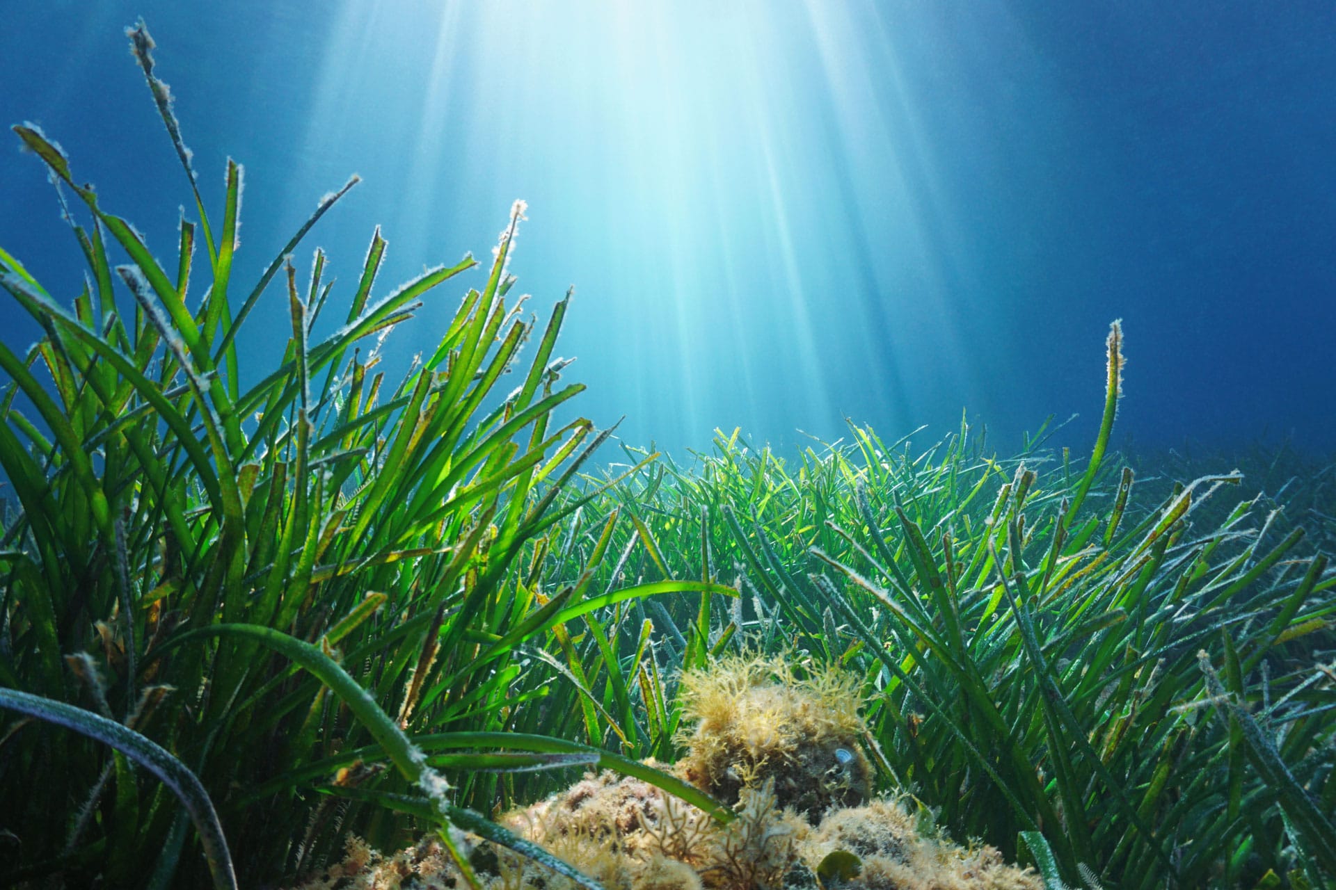
Neptune grass is responsible for crystal clear water and soft beaches, so we would like to do our bit to protect this valuable underwater plant.
Around Formentera, the Neptune grass is particularly widespread. Seagrass meadows can store twice as much CO2 as an area of rainforest of the same size, for example. It therefore plays an important role in the climate, according to a study by Spanish marine biologist Carlos Duarte. In addition, the Neptune grass is a habitat for snails and a breeding ground for many fish. Seagrass makes for soft beaches as it protects the coasts from erosion. Seaweed also absorbs many nutrients, thus protecting the sea from over-fertilisation and keeping the water crystal clear.
We at IFY donate a portion of your charter hire to the Save Posidonia project. Thus, with each booking you protect an area of about 5 to 250sqm of Neptune grass. Depending on the size of the chartered boat.
Wir von IFY spenden einen Teil Ihrer Chartermiete an “Save Posidonia Project”. So schützen Sie mit jeder Buchung eine Fläche von etwa 5 bis 250qm Neptungras. Je nach Größe des gecharterten Bootes.
We at IFY donate a portion of your charter fee to “Save Posidonia Project”. Thus, with each booking you protect an area of about 5 to 250sqm of Neptune grass. Depending on the size of the chartered boat.
You need to load content from reCAPTCHA to submit the form. Please note that doing so will share data with third-party providers.
More InformationYou are currently viewing a placeholder content from Facebook. To access the actual content, click the button below. Please note that doing so will share data with third-party providers.
More InformationYou are currently viewing a placeholder content from Google Maps. To access the actual content, click the button below. Please note that doing so will share data with third-party providers.
More InformationYou are currently viewing a placeholder content from Mapbox. To access the actual content, click the button below. Please note that doing so will share data with third-party providers.
More InformationYou are currently viewing a placeholder content from OpenStreetMap. To access the actual content, click the button below. Please note that doing so will share data with third-party providers.
More Information